Shell Island
Panama City Beach
Boat-only barrier island between St. Andrews Pass and Tyndall, the best shelling in Bay County.
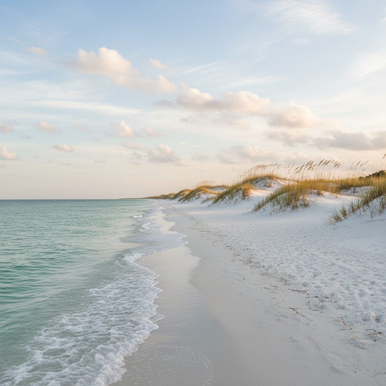
Illustrative image — not a photograph of this beach. No freely licensed photo is available yet.
Photos
No member photos of Shell Island yet. Yours could be the first.
Sign in to add your own photo of Shell Island.
Conditions
- Weather
- Overcast
- Air
- 81°F
- Water
- 87°F
- Wind
- W 4 mph
- Waves
- 1 ft
- Rain (24h)
- 0.00 in
Live weather and marine data from Open-Meteo; tide predictions from NOAA CO-OPS station Channel entrance.
Where it is
Panama City Beach
Tides
What people find here
- ShellsFairBeachNut estimate
- Shark teethFairBeachNut estimate
- FossilsPoorBeachNut estimate
- Sea glassFairBeachNut estimate
- Sand dollarsGoodBeachNut estimate
- Tidepool lifeFairBeachNut estimate
Search guidance
Practical info
- Parking
- Shuttle or private boat only.
- Restrooms
- No
- Dogs
- Not allowed
- Fee
- —
Get Florida beachcombing tips
Occasional emails: what's washing up, shelling tips and new BeachNut features. No spam, unsubscribe any time.