Beer Can Island (Greer Island)
Longboat Key
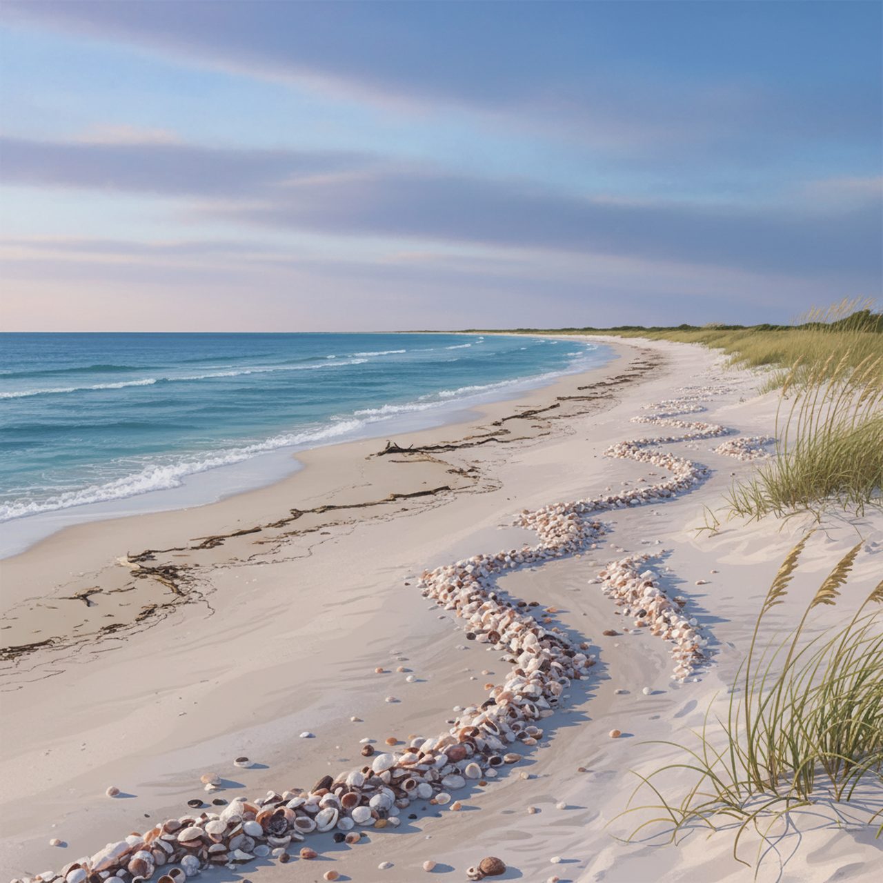
North Longboat spit with driftwood, strong currents and heavy shell drift.
Illustrative image — not a photograph of this beach. No freely licensed photo is available yet.
Photos
No member photos of Beer Can Island (Greer Island) yet. Yours could be the first.
Sign in to add your own photo of Beer Can Island (Greer Island).
Shelling at Beer Can Island (Greer Island)
- Best tide
- Low 10:09 PM
- Parking
- Small free lot, long walk.
- Restrooms
- No
- Fee
- —
Worth looking for here: Sand dollars, Shells.
Found something you can't place? Identify it free from a photo, or compare it in the shell identification guide.
Conditions
- Weather
- Overcast
- Air
- 78°F
- Water
- 89°F
- Wind
- W 4 mph
- Waves
- 0.3 ft
- Rain (24h)
- 1.79 in
Live weather and marine data from Open-Meteo; tide predictions from NOAA CO-OPS station Cortez, Sarasota Bay.
Where it is
Longboat Key
Tides
What people find here
- Sand dollarsVery goodBeachNut estimate
- Sea glassPoorBeachNut estimate
- Tidepool lifePoorBeachNut estimate
- ShellsExcellentBeachNut estimate
- Shark teethUnknownBeachNut estimate
- FossilsPoorBeachNut estimate
Search guidance
Practical info
- Parking
- Small free lot, long walk.
- Restrooms
- No
- Dogs
- Allowed
- Fee
- —
Get Florida beachcombing tips
Occasional emails: what's washing up, shelling tips and new BeachNut features. No spam, unsubscribe any time.